Sequoia Serendipity

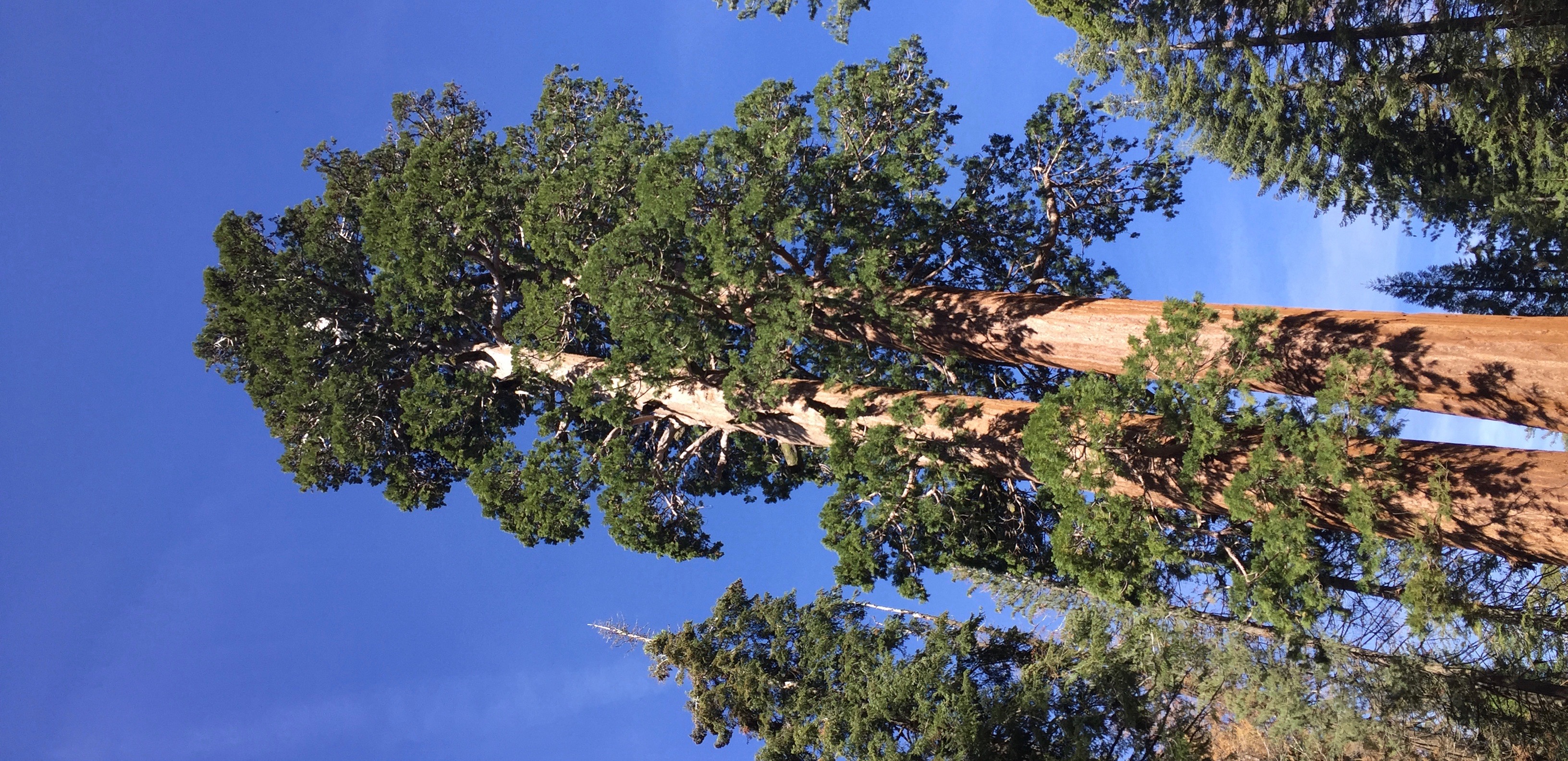
We started out with just three sheets of paper printed out from my computer: California Road Trip Itinerary listing all our various reservations for lodging, restaurants, and tours, a map of Carmel by the Sea, showing the location of our hotel there, and a map of Yosemite Valley. How then did I return home with 3 ½ pounds of paper, collected over a 7-day road trip. That’s half a pound a day! Yikes.

Day One: Our first stop would be Sequoia/Kings Canyon National Park, where we had reservations at the John Muir Lodge. Estimated driving time from our home in Manhattan Beach: 3 ½ to 4 hours.  We stopped for lunch at the Gateway Restaurant & Inn, and enjoyed our ring-side seats on the deck alongside the roaring Kaweah River even more than the meal. And the meal was good! A good thing, too. Because, as we knew before arriving, the restaurant at the John Muir Lodge, where we were staying that night, was closed for renovation (the new version would be much larger). But there would be pizza available. Upon leaving the Gateway and entering the National Park, however, our thoughts were not on food, but on the incredible drive (about a million switchbacks as we climbed, climbed, climbed the roadway), on the incredible views (massive swaths of dark green above, beside, and beneath us (as we peeked downward) towers of tree trunks—deeply ridged, and reddish brown—standing side by side to infinity, massive rock outcroppings, all this against a cloudless, bright blue sky. Oh, yes, and popping up here and there along the roadside, small green signs reminding us “No gas available in Park.” (Now you tell us?) We would be in the Park less than 24-hours, but that proved plenty of time to find our way to at least two major sites. Our walks among the Giant Sequoias left us awe-struck. These ancient giants are incredible to see. We craned our necks as far back as they would go as we took in their  massive crenalated red-brown trunks topped by far-above-us blobs of dark green foliage splattered against a bright blue sky. We have  pictures…but only one shows the name of the tree: General Grant! I’m certain we visited several different groves. But I can’t now remember exactly which ones. So let’s look at the papers saved these two-plus years: The  map of Grant Grove Village, where the Lodge is located, just a single sheet of 8 ½ x 11 paper. The Visitors Guide (12-page newspaper) and glossy 56-page booklet Complete Guide to the Parks.  Nope. Looking at these two-and-a-half years later, I find no clues to the small lots where we parked, the walkways we traversed the trails we puffed our ways up and down. But I do see several sites we definitely missed:  the 1.5 mile Big Trees Trail, visit the Giant Forest Museum, Moro Rock, and Tunnel log “that you can drive through.” Ah, well. Too late now. (Note about the photo: Yes, it’s sideways. How else can I give you an idea of just how tall those Giant Sequoias are?!)

Day Two:  On to Yosemite. Well, not quite. Because… as we quickly discovered, there’s no cell phone reception in the high Sierras, therefore no GPS. But we knew we arrived at the Lodge from the south on Route 180, so didn’t  it stand to reason that to get to Yosemite, which is north of here, we should head north? Mr. Penfire vigorously objected to this “instinct” of mine. However, I, being behind the wheeled confidently forged onward. Soon we would be out of the Park. Good thing, too, because we had little more than a  quarter of a tank of gas, and as several signs had assured us, “No gas in the park!”

Hmmm. This was truly a beautiful drive, but quite different from anything I remembered from the time we drove through the high Sierras a few decades ago. This landscape was so incredibly rocky. The cliff-hugging road was zigzagging continuously. “I feel like I’m driving in the Grand Canyon,” I announced to my passengers, all three them, I noticed were leaning to the right away from the precipitous drop on the opposite side of the road. “Aren’t you glad we’re going down—and not up—on the of the road,” I joked. The scenery was spectacular; rock cliffs all around us, and the road kept going down, down, down. I certainly did not recall this kind of terrain the last time traversed the route between Sequoia and Yosemite.  But then again, we did not come exactly this way. Finally, it seemed, we had stopped going down. The road was flat here and we were enjoying a spectacular drive alongside a boiling roiling river, precipitous cliffs were now rising above us on both our left and our right. We surely will  start seeing signs of civilization soon—and a gas station—I was thinking… because I knew we had to leave Sequoia, drive east on Route 180 all the way to Fresno before we headed north on Route 41. Yes, soon we would come to a…sign that said “ROAD ENDS!” Whaaat?

Yes. That’s what it was, a huge barrier made of three horizontal boards painted with diagonal red and white stripes—a large sign in the middle with two words printed clearly large black and white letters. “ROAD ENDS.”

This couldn’t be true? Could it? We pulled into a parking lot near a ranger shed that was locked up tight. No sign of a ranger. A dozen or so cars. But not a human being in sight. Until…yes, a pleasant looking man in brown pants, a checked shirt, carrying a back pack, walked purposefully to his car. We chased him down—pelted him with panicky questions. He was calm, cheerful, probably fighting to suppress the laughter he no doubt felt welling up inside him in response to our obvious stupidity. He pulled out his map and showed us where we were. Right smack in the heart of King’s Canyon. Which is, of course, a dead end. That’s what a canyon is: a mountainous pincer with wide entrance, and no exit. Oh, dear, Mrs. Penfire let loose with an expletive which she is truly ashamed to write down. Yes, we would have to retrace our path, the kind man explained. Apparently, when leaving John Muir Lodge, we should have gone left (the way we came, as Mr. Penfire strongly suggested).

“But we’re out of gas!” I wailed to the kind man. “How much do you have?” he asked. “A quarter or a tank,” I nearly whimpered. “That’ll be enough”, he assured me. “It’s only 34 miles back.” THIRTY-FOUR MILES! And of course another hour to backtrack. And of course we would have to negotiate all those switchbacks on the cliff-side of the road. Apparently, we wouldn’t be arriving at Yosemite as early in the day as we had hoped.

But we did, eventually, get there.